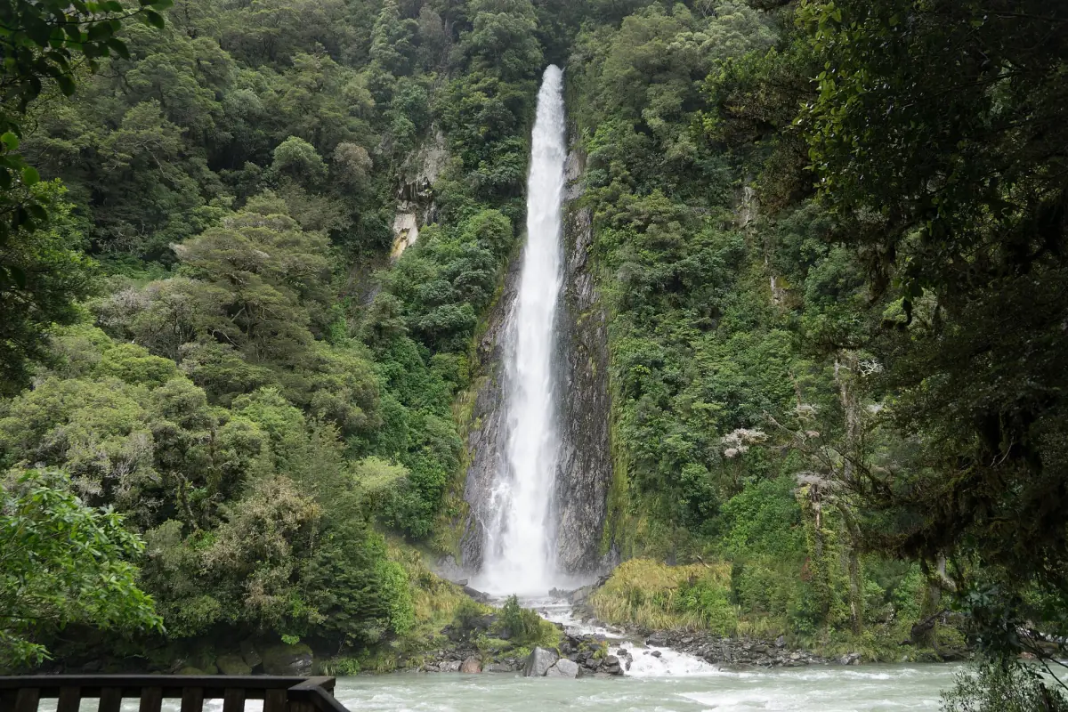
Thunder Creek Falls at a glance
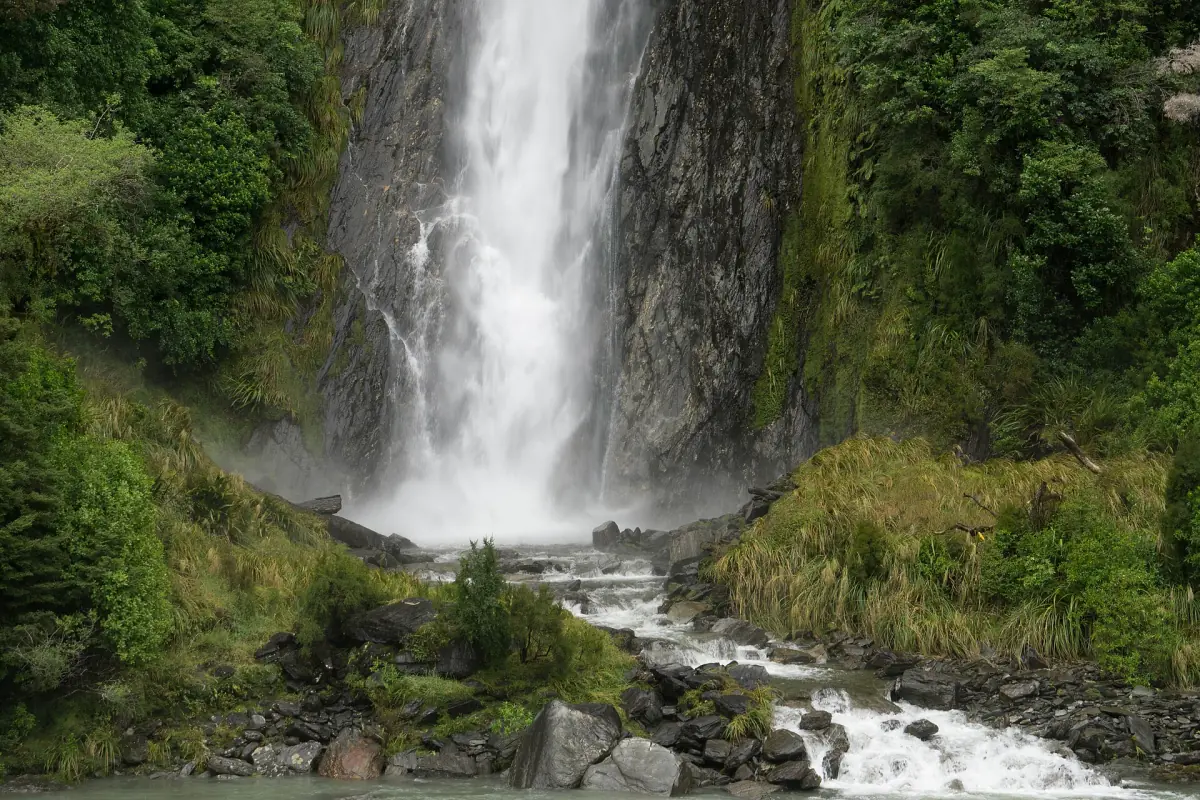
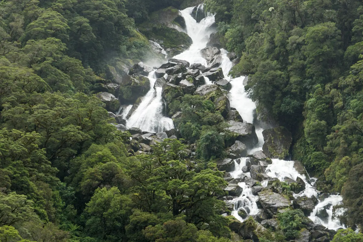
Thunder Creek Falls are on State Highway 6 in Mount Aspiring National Park. The Department of Conservation (DOC) gives the height as 28 m. A short paved forest track leads from the car park to a viewing platform opposite the falls, with the Haast River between you and the water.
A 2023 DOC brochure puts the walk at 200 m and 5 minutes return. That makes it one of the easiest stops on the pass, and it sits comfortably between the Blue Pools and the coast. This site is an independent guide, not run by DOC, so check DOC and NZTA for the current state of the track and the road.
Before you stop
Short walk, simple plan.
The walk
The track is paved and runs through forest to the platform. DOC calls it a short walk. Allow ten minutes with photos, longer if you linger at the rail.
Toilets
DOC lists Pleasant Flat, about 5 km away, as the nearest toilets. It is also a picnic area and campsite, so you can combine it with this stop.
Camping →Drones
Flying a drone without a permit is prohibited. Leave it in the car.
After heavy rain
DOC does not promise that the stop is open after storms. Slips closed parts of State Highway 6 in late August 2026, so check NZTA before you set out. The Haast Pass guide covers the dated closures.
Tours along the Haast Pass
Day trips from Wānaka that cover the Blue Pools and the Haast Pass, plus flights and jet boat rides from Makarora, with live prices and availability.
Where Thunder Creek Falls fits on the pass
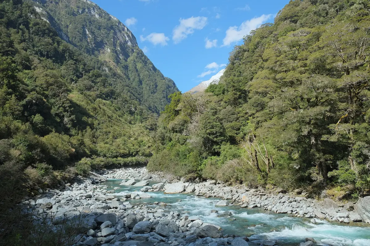
Thunder Creek Falls lies in the Haast River valley on the western side of the pass. DOC puts the car park 50 km from Haast. From Wānaka that is most of the highway, so most visitors combine it with the Blue Pools and Fantail Falls on a long day.
From the platform you look across the Haast River valley. If you have time left, the short walk at Pleasant Flat is nearby, and Roaring Billy Falls is the next waterfall. Turning back at Thunder Creek Falls is a sensible end point for a day trip from Wānaka. Going on to Haast adds a lot of driving.
The short walks along the highway compared
Distances are DOC's figures. Walk times for the shorter stops come from a 2023 brochure.
| Stop | Walk | Where | What you see |
|---|---|---|---|
| Fantail Falls | 200 m, 5 min | 85 km from Wānaka | A fan-shaped fall across the Haast River |
| Thunder Creek Falls | 200 m, 5 min | 50 km from Haast | A 28 m fall from a platform |
| Pleasant Flat | 200 m, 5 min | 45 km from Haast | A forest walk beside a stream |
| Roaring Billy Falls | 1 km, 25 min | 30 km from Haast | A fall across the river, platform open to wheelchairs and pushchairs |
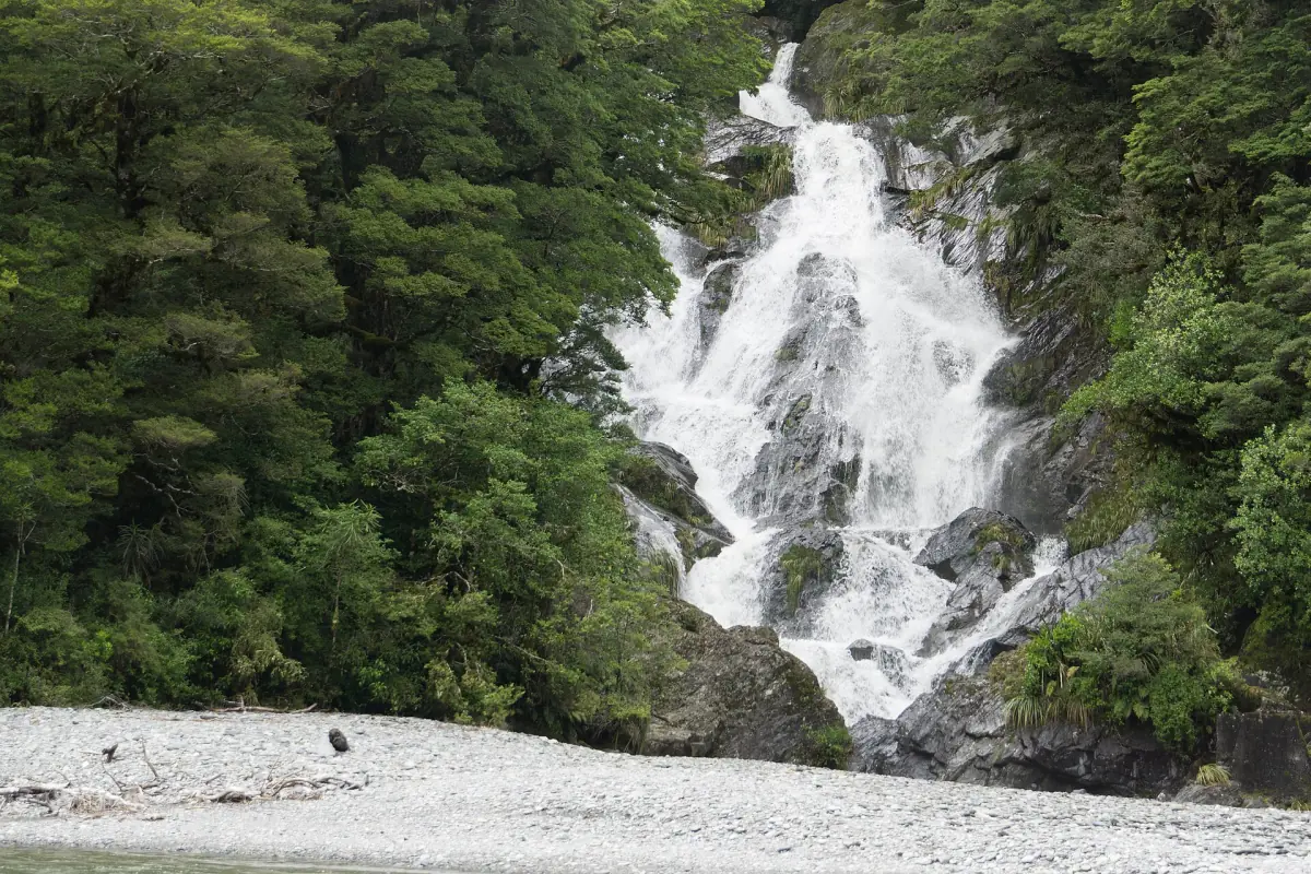
The quickest way to see more than one waterfall is to park twice. Thunder Creek Falls and Fantail Falls are on the same stretch of the highway, and neither needs boots.
A day trip from Wānaka with Thunder Creek Falls as the turning point
Published times, without roadworks or long stops.
Drive out
Wānaka to the Blue Pools car park takes 1 hour 10 minutes by DOC's figure. Start early, because the walk and the waterfall stops add up.
Blue Pools Track →Blue Pools
The track is 3 km return and takes about an hour. Count on more time if you linger at the bridges.
Waterfalls
Fantail Falls and Thunder Creek Falls take about five minutes each on foot. Thunder Creek Falls is the farthest stop for a day trip from Wānaka.
Drive back
Leave enough daylight for the road home. Slips and roadworks can slow the return, and Makarora has limited food and fuel on the way.
Beyond the pass
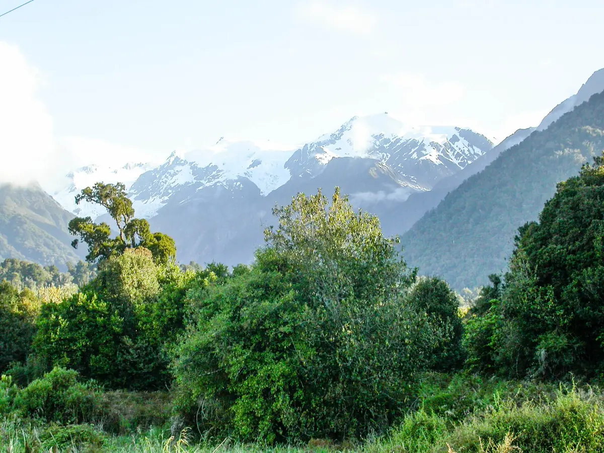
If you drive on to Haast and turn north along the coast, the road leads toward the glaciers. The Franz Josef Glacier guide covers that side of the trip, and this site stays with the pass. Buy fuel and food in Wānaka before you leave, since Makarora has limited supplies.
For the full list of stops, distances and driving times, use the Haast Pass guide. The Blue Pools are covered on the Blue Pools Track page.
Thunder Creek Falls: frequently asked questions
How high are Thunder Creek Falls?
DOC gives the height as 28 m. Older articles may quote other figures, so use DOC's number.
How long is the walk?
A 2023 DOC brochure gives 200 m and 5 minutes return. The track is a short paved forest path to a viewing platform.
Are there toilets at Thunder Creek Falls?
DOC lists Pleasant Flat, about 5 km away, as the nearest toilets.
Can I fly a drone at the falls?
Not without a permit. Flying a drone without permission is prohibited.
Is the walk open after heavy rain?
That is not guaranteed. Slips closed parts of State Highway 6 in late August 2026, so check NZTA before you travel and follow any DOC notices at the site.