The Haast Pass Highway at a glance
The Haast Pass Highway is the stretch of State Highway 6 that links Wānaka with the West Coast at Haast. The Department of Conservation (DOC) describes it as about 140 km long. It follows the Makarora River up to the pass, then drops into the valley of the Haast River. The road is mostly schist country, and the Alpine Fault crosses it east of Haast. Ice-age glaciers carved the U-shaped valleys you drive through.
Most of the route lies in Mount Aspiring National Park, which is why the Blue Pools and the waterfall stops are all within a few minutes of the road. This site is an independent guide. It is not run by DOC, NZTA or any tour company, so check official sources for the current state of the road and the tracks.
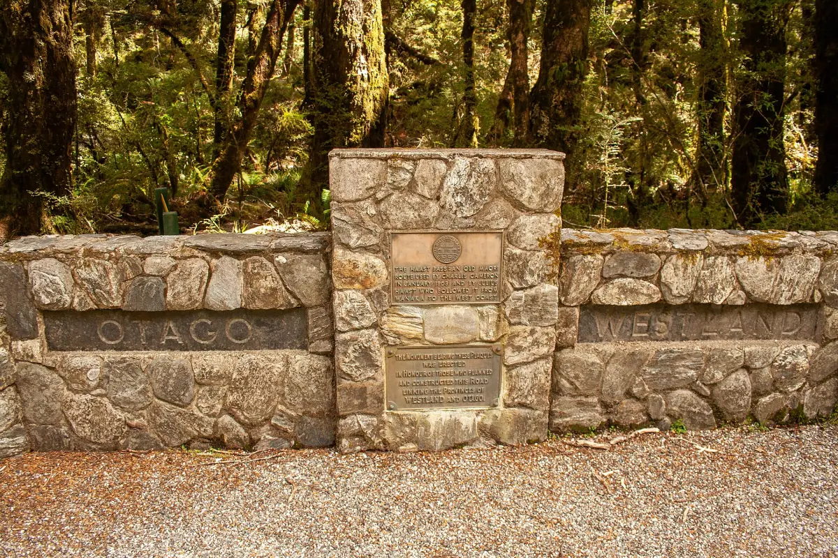
What to know before you drive
The highway is paved, but it is narrow in places and the weather is changeable.
Road delays in 2026
Slips after heavy rain closed SH6 between Makarora and Lake Hāwea on 28 August 2026, with around 30 slip sites near The Neck. Escorted convoys ran in early September, and NZTA announced continuous travel again on 9 October. Roadworks and delays continued into October. Check the current state with NZTA before you set out.
Getting there →Narrow, winding and wet
Traffic drives on the left. The road has many bends and some narrow sections, so average speeds are lower than the distance suggests. DOC gives roughly 4,500 mm of rain a year at the pass and 2,000 mm at the head of Lake Wānaka, so pack a rain jacket even on a clear morning.
Weather guide →Few services
Makarora has limited food and fuel. There is no visitor centre in Makarora, and DOC points visitors to Haast or Wānaka. Fill up and buy supplies in Wānaka before you head over.
Makarora →Walks are short, not all are easy
Most roadside walks take 5 to 25 minutes. The Haast Pass Lookout, the Bridle Track and the Wills Valley route are longer and steeper. The table below sorts them.
Things to do →Our picks: Haast Pass tours
Ways to see the pass without driving yourself, from a day trip to a one-way run to the coast.
Hand-picked tours, booked through GetYourGuide. Prices are indicative starting prices in US dollars (as of October 2026). Tap a tour for live availability and the current price in your currency.
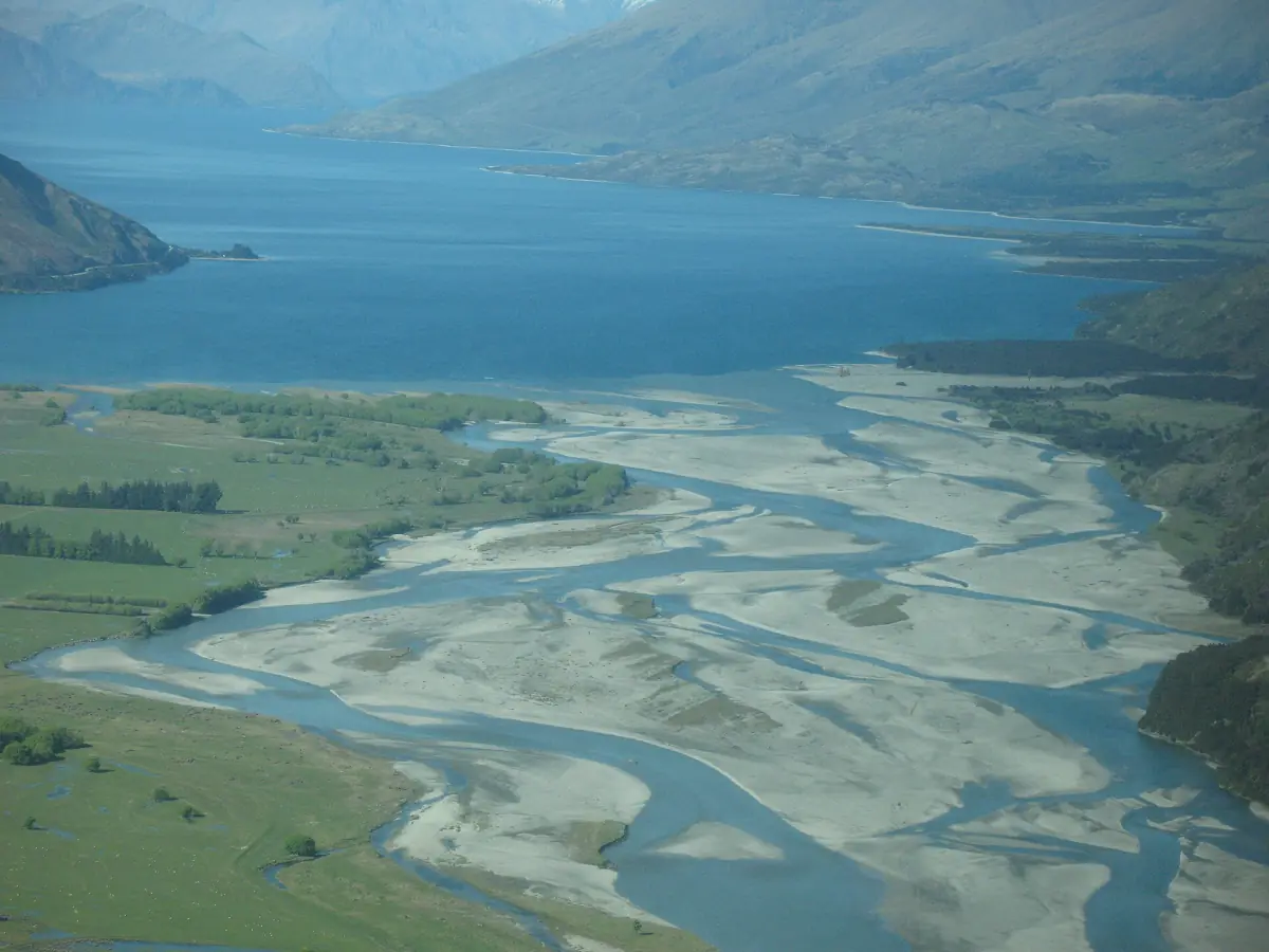
Scenic flight, hike and jet boat from Makarora
A scenic flight with a window seat, an unguided hike with a route briefing and a 30-minute jet boat ride back to Makarora. There is no guide on the hike.
Check availability →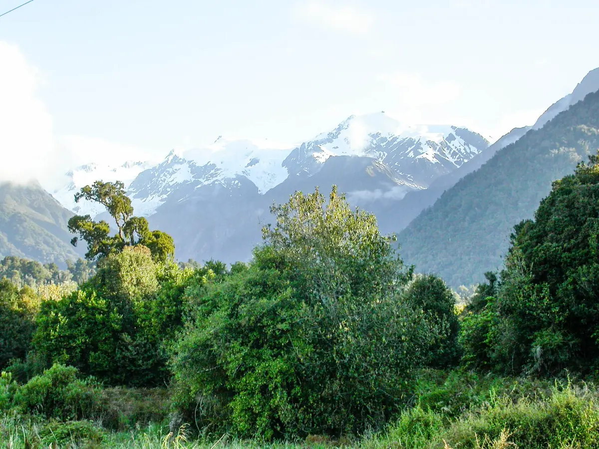
One-way small-group trip over the Haast Pass to Franz Josef
Lunch, water and snacks are included, and the route runs past Lake Hawea, the Blue Pools, Thunder Creek Falls and Haast. The way back and accommodation are not included.
Check availability →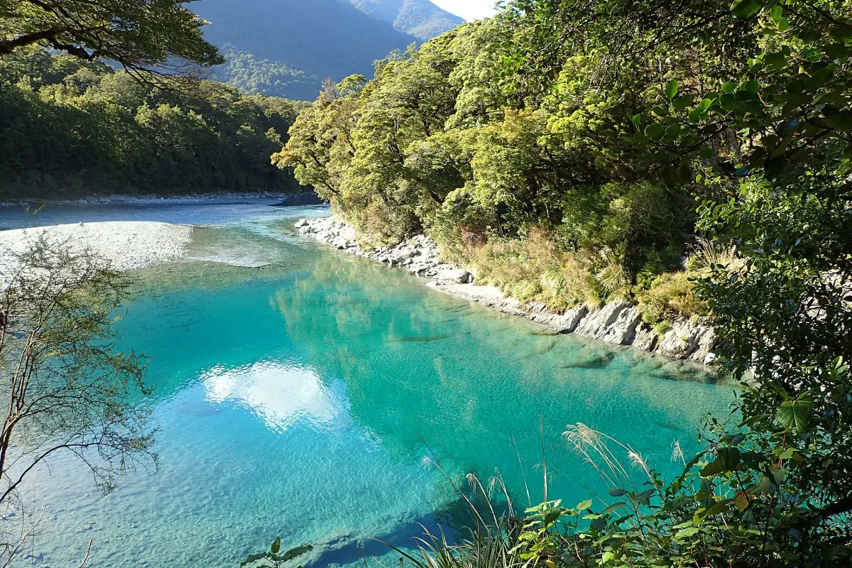
Blue Pools, Wilson Creek and Fantail Falls from Wanaka
Pickup in Wanaka and stops at the Blue Pools, Wilson Creek Canyon, Fantail Falls, the swing bridges and Haast Lookout. Meals are not included.
Check availability →Haast Pass and Blue Pools tours
Day trips from Wānaka that cover the Blue Pools, Fantail Falls and the pass, plus flights and jet boat rides from Makarora, with live prices and availability.
Stops on the Haast Pass Highway, in driving order
Distances are DOC's published figures from Wānaka or Haast. Walk times are return unless noted, and some come from a 2023 DOC brochure.
| Stop | Where | Walk | Good to know |
|---|---|---|---|
| The Neck | Between Lake Hāwea and Lake Wānaka | – | The narrow strip of land that separates the two lakes |
| Makarora Bush Walk | 60 km from Wānaka | 1 km loop, 15 min | Forest with podocarps and beech, old sawing display |
| Blue Pools Track | About 10 km past Makarora | 3 km, about 1 h | Two swing bridges, free car park, toilets |
| Cameron Flat | North of Makarora, 15 min drive | – | DOC campsite, book online |
| Cameron Lookout | 70 km from Wānaka | 1 km, 20 min | Forest climb of about 50 m to a platform over Cameron Creek |
| Haast Pass Lookout | 80 km from Wānaka | 1.5 km, 1 h | Gravel track, about 150 m of climbing, view of Mount Brewster |
| Bridle Track | Davis Flat or the pass | 3.5 km one way, 1.5 h | Not a loop, car park prone to washouts |
| Fantail Falls | 85 km from Wānaka | 200 m, 5 min | View across the Haast River |
| Gates of Haast | Bridge over the Haast River | – | Start of the Wills Valley route, see below |
| Thunder Creek Falls | 50 km from Haast | 200 m, 5 min | 28 m fall, paved track |
| Pleasant Flat | 45 km from Haast | 200 m, 5 min | Picnic area, DOC campsite, toilets |
| Roaring Billy Falls | 30 km from Haast | 1 km, 25 min | Platform reachable by wheelchair and pushchair |
| Ship Creek | 20 km from Haast, on the coast | 800 m to 1 km | Swamp forest and dune lake walks |
A tidy day out from Wānaka goes as far as Fantail Falls or Thunder Creek and turns back. Going all the way to the coast makes a very long day with the time needed for stops, so many people stay a night in Haast or on the way. See where to stay.
Gates of Haast and the Wills Valley
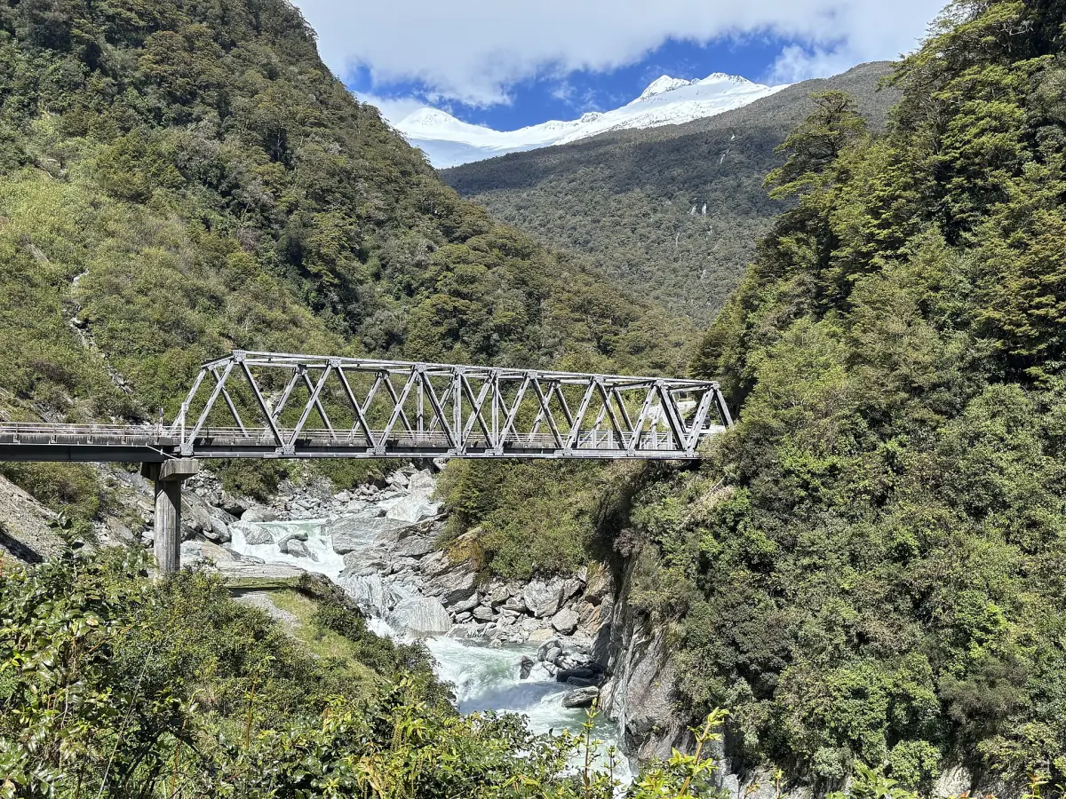
The bridge at the Gates of Haast crosses a rocky gorge where the Haast River runs fast. It is the starting point of the Wills Valley route to Wills Hut, which has four bunks. DOC rates this route for experienced walkers only. The access crosses a large, active and unstable slip, and later sections can include a river crossing without a bridge.
Treat the Gates of Haast as a quick look at the bridge, not as the start of a family walk. DOC also warns that avalanche paths are active in the Wills Valley, usually from May to November. Do not cross flooded rivers. If you are unsure, turn around or wait.
Driving times and where to break the trip
Published estimates for open roads and no stops. Roadworks add time.
| Route | By car |
|---|---|
| Makarora to the Blue Pools car park | 10 min |
| Wānaka to Makarora | 1 h |
| Wānaka to the Blue Pools car park | 1 h 10 min (DOC); one tour operator gives 45 min |
| Haast to the Blue Pools car park | 1 h 10 min |
| Queenstown to Makarora | 2 h |
For camping on the route, Cameron Flat and Pleasant Flat are DOC campsites. In 2026 the rate is NZ$15 per adult per night and NZ$7.50 for children aged 5 to 17, and you book online in advance. More on the camping page.
North of Haast the highway continues along the coast toward the glaciers. The sister guide to getting to Franz Josef covers that leg, and this site stays on the pass.
More guides for the pass
Blue Pools Track
Distance, swing bridges, season and the rules.
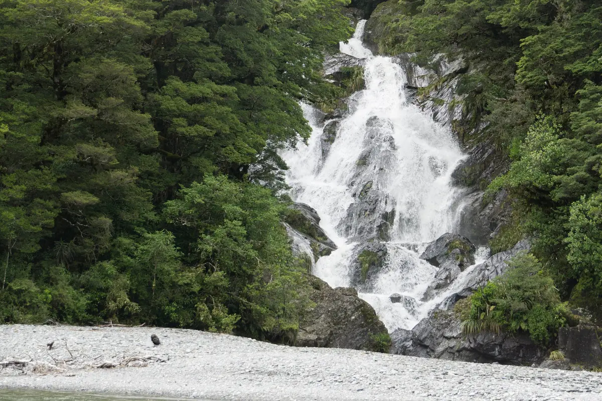
Fantail Falls
A five-minute walk and what to keep in mind near the river.
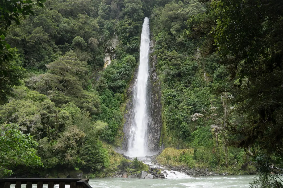
Thunder Creek Falls
A 28 m fall seen from a platform.
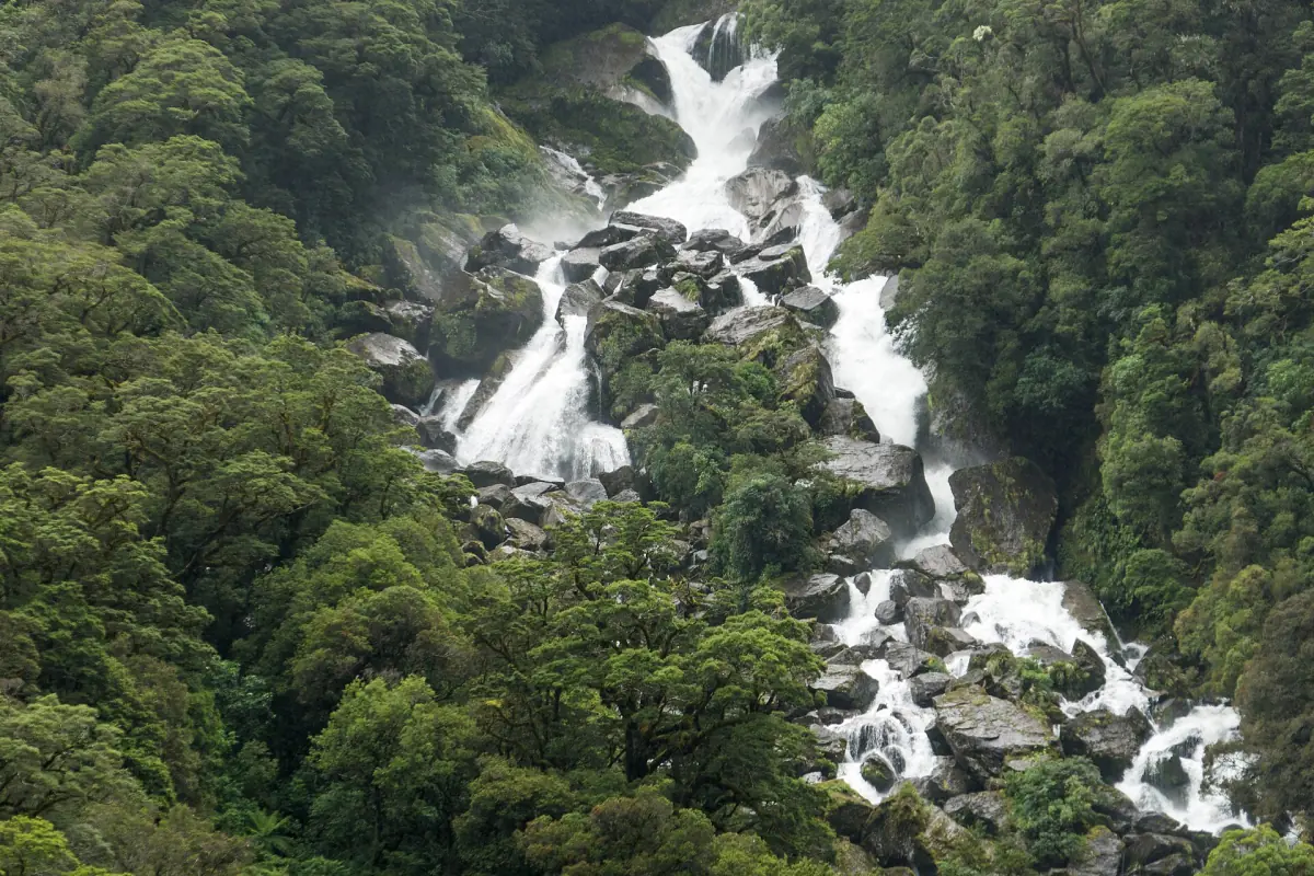
Roaring Billy Falls and Ship Creek
A forest walk and two coastal tracks near Haast.
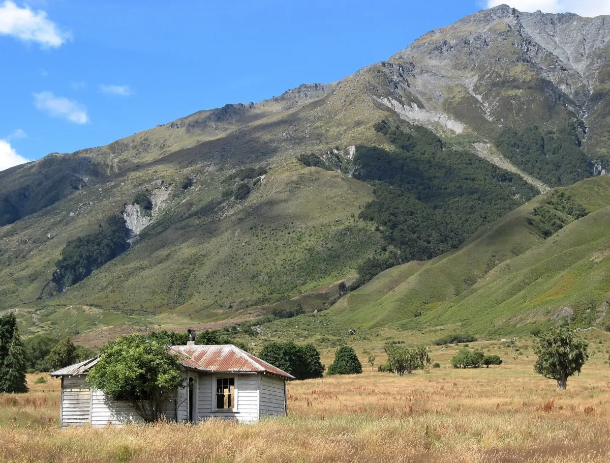
Makarora
Services, walks and jet boats at the gateway to the pass.
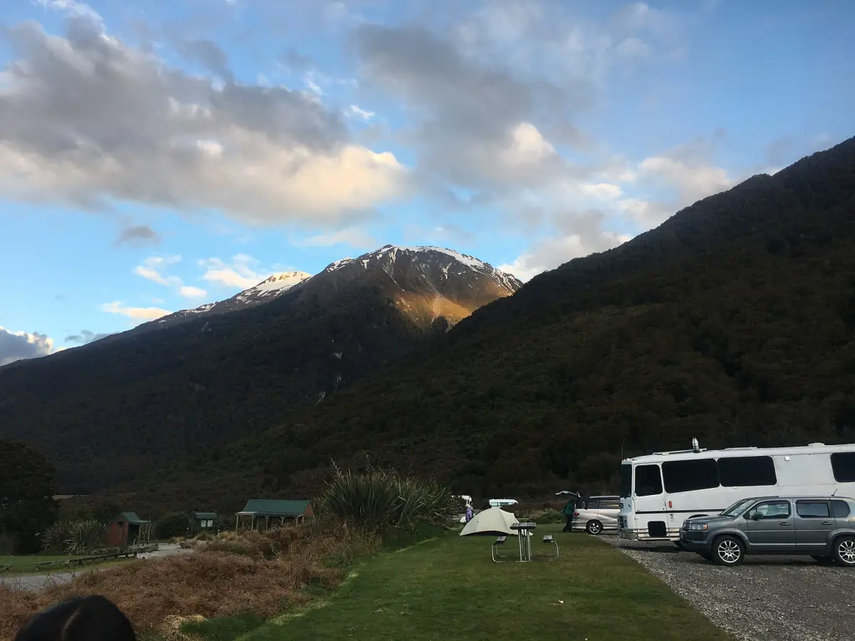
Camping on the highway
Cameron Flat, Pleasant Flat and the freedom camping rules.
Haast Pass: frequently asked questions
How long does the Haast Pass drive take?
DOC describes the highway between Wānaka and Haast as about 140 km. Published estimates put Wānaka to the Blue Pools car park at 1 hour 10 minutes. Add time for stops and roadworks, and plan a full day if you want to see the waterfalls.
Is the Haast Pass road open?
It can change after heavy rain. Slips closed part of SH6 on 28 August 2026, and in October there were still roadworks and delays. Look at the NZTA journey planner on the day you travel.
How high is the Haast Pass?
DOC's map gives 563 m above sea level, while other sources give 562 m. Both figures are in use, so treat it as about 563 m.
Can I do the Blue Pools and the waterfalls in one day?
Yes. The Blue Pools walk takes about an hour, and Fantail Falls and Thunder Creek Falls are five-minute walks from their car parks. From Wānaka, a day trip that includes them is realistic if the road is clear. Going on to Roaring Billy Falls and the coast adds a lot of driving.
Are there toilets and shops on the pass?
Toilets are at the Blue Pools car park, Cameron Flat and Pleasant Flat. Makarora has limited food and fuel, so buy supplies in Wānaka.
Is this the official Haast Pass website?
No. This is an independent travel guide with no link to DOC, NZTA or any tour operator.